


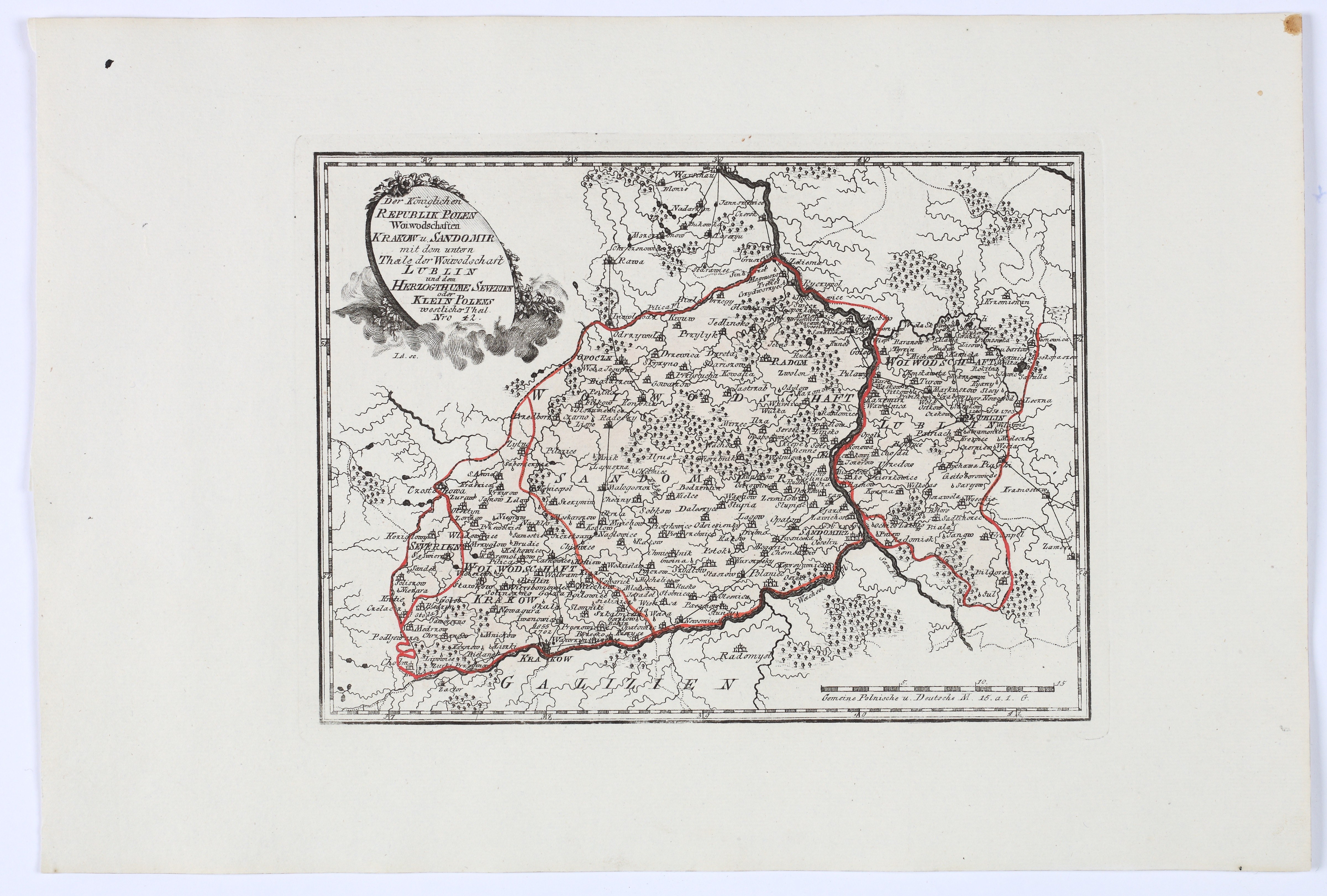
REILLY, Franz Johann Joseph von (1766–1820) — The Voivodeships of Kraków and Sandomierz in the Royal Republic of Poland. No. 42. Vienna: Franz von Reilly, 1791.
Contour-colored copperplate engraving from the period, on paper, 210 × 283 mm, on a sheet measuring 315 × 465 mm. Verso blank. Two small ink stains on the upper margin.
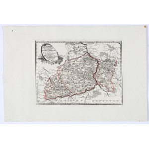
A map of the Kraków and Sandomierz provinces, including the southern part of the Lublin Province and the Duchy of Sieradz, i.e., the western part of Lesser Poland. The title is placed in an oval cartouche with scrollwork and floral garlands in the upper left corner. The map depicts the western part of Lesser Poland, which, following the First Partition of Poland in 1772, remained under the rule of the Polish Crown, encompassing the provinces of Kraków and Sandomierz, the Duchy of Sieradz, and the southern part of the Lublin Province, with the cities of Kraków, Sandomierz, Radom, Lublin, and Częstochowa clearly marked. The Vistula River marks the southern and eastern borders with Galicia, denoting the Habsburg territories annexed in 1772, while Warsaw is marked at the top of the sheet. The map shows numerous towns, villages, and administrative centers, and the borders of provinces and counties are highlighted in red.
Map No. 42 from *Schauplatz der fünf Theile der Welt*, a comprehensive atlas published by the Austrian cartographer, publisher, bookseller, and writer Franz Johann Joseph von Reilly.







최근 확인한 경매
경매품 리스트를 확인하려면 로그인하세요
관심있는 경매품
경매품 리스트를 확인하려면 로그인하세요