


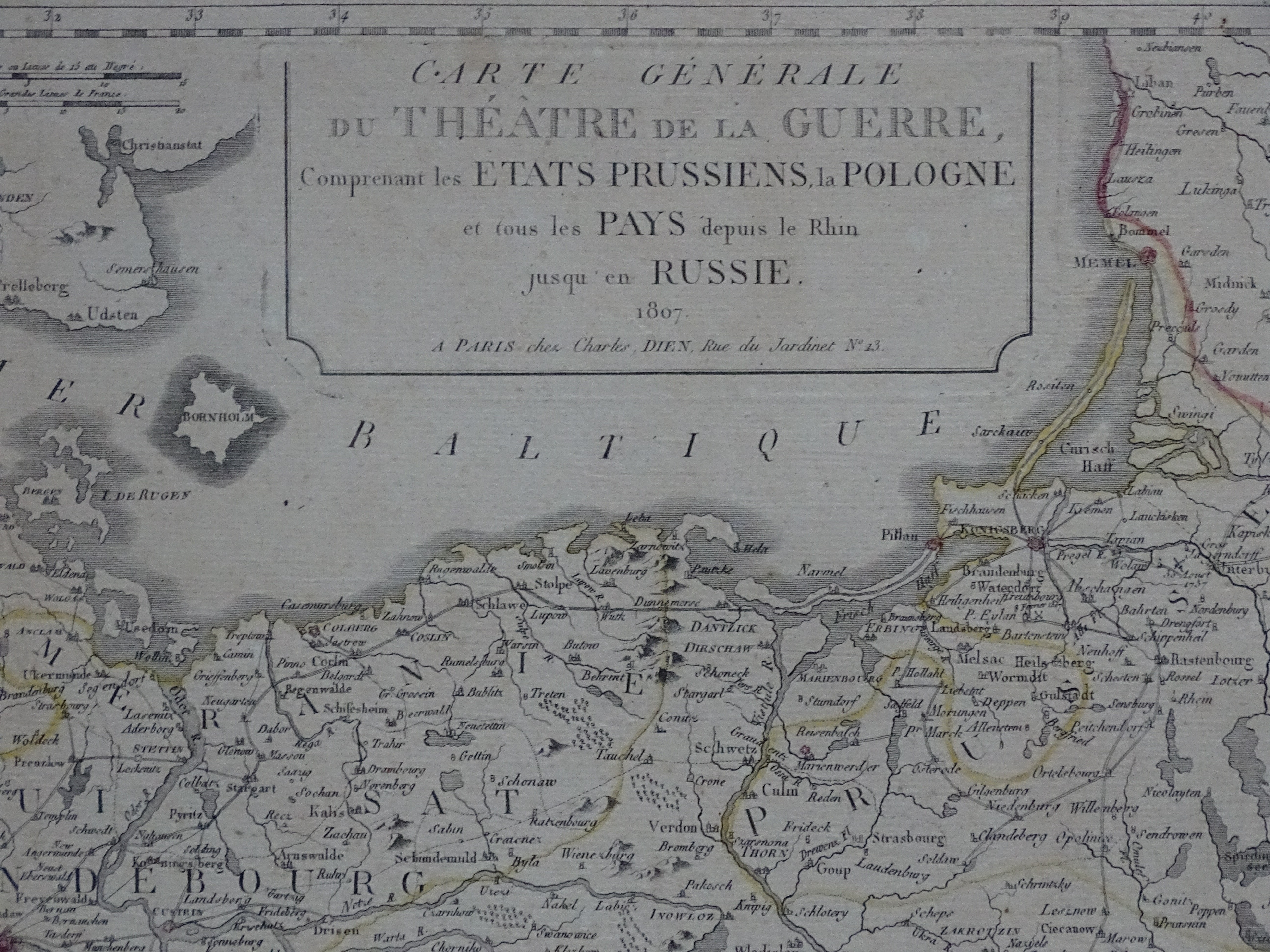

"Napoleonic" Map of the Lands of the Polish-Lithuanian Commonwealth
"General Map of the Theater of War: Including the Prussian States, Poland, and All Countries from the Rhine to Russia, Paris 1807, published by Charles Dien, 13 Rue de Jardinet."
The map shows the borders of the Polish-Lithuanian Commonwealth as they stood after the Third Partition, as well as the Polish-Russian border prior to the partitions.
Sheet approx. 135 by 56.5 cm
paper has turned grayish/brownish; reinforced with tissue paper along the margins and on the reverse side










