


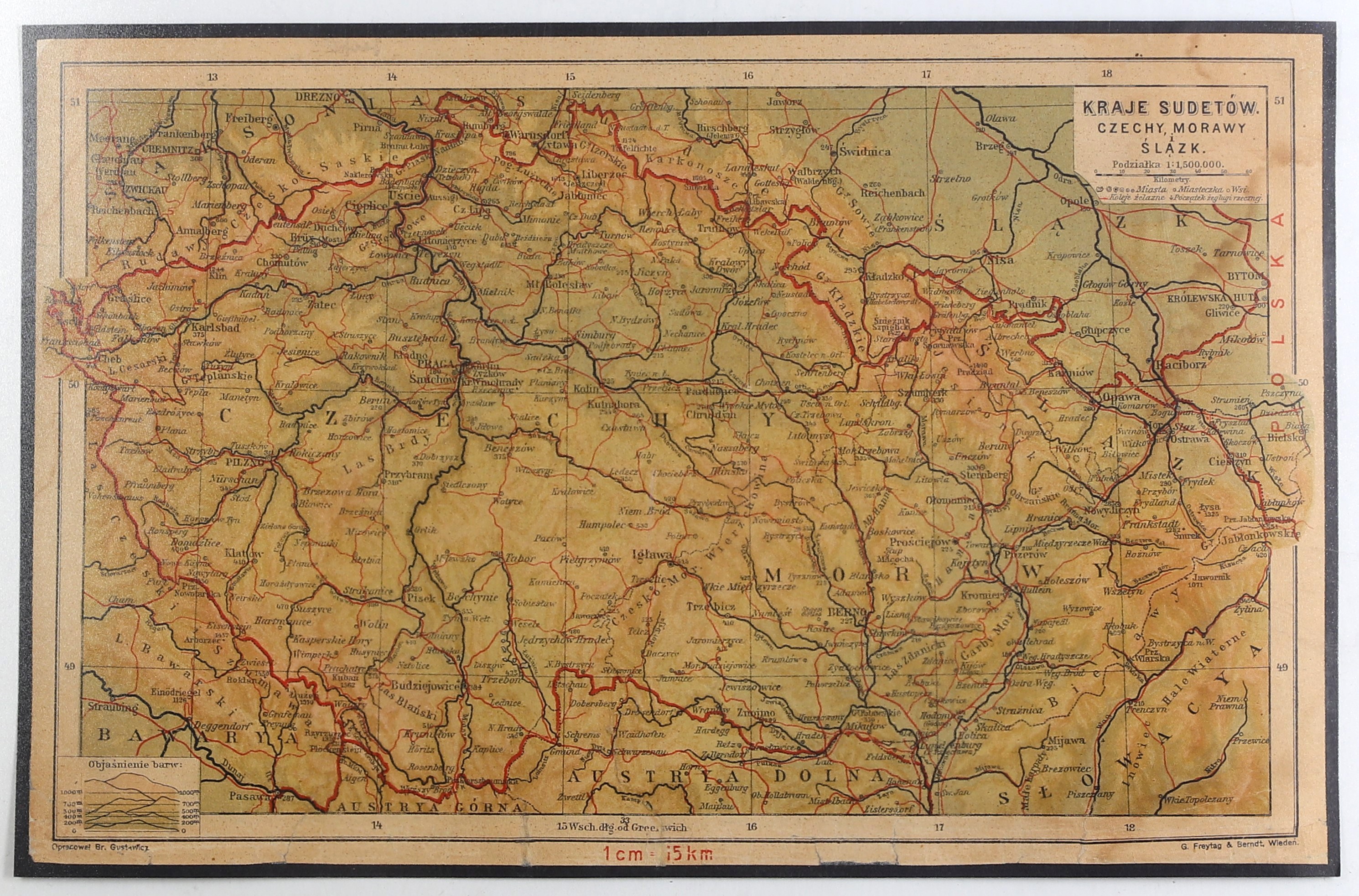
CZECH REPUBLIC, MORAVIA. Physical map of Bohemia, Moravia and part of Silesia; compiled by. B. Gustawicz, published by G. Freytag & Berndt, Vienna 1922; color print, bdb./db. condition, after conservation, glued with stiff paper, trace of moisture; dimensions 335x215 mm; COUNTRIES OF SUDET. CZECH REPUBLIC, MORACIA, and Silesia.
The first atlas for Galician schools was Geographical Atlas for Galician Folk Schools, published in 1883. Its author was Viennese cartographer Vinzenz Haardt von Hartenthurn (1843-1914). Bronislaw Gustavich (1852-1916), a figure of great merit to Galician education - not only a teacher, but also the author of many publications, collaborated with him. In Haardt's atlas publications he was responsible, among other things, for correct naming, i.e. toponymy on maps.
In 1907 they jointly published an atlas for high schools (grammar schools). It was branded by Blasius Kozenn's publishing house, and was called Geographical Atlas for Secondary Schools (in Galicia, of course). Its political message passed into oblivion in 1918. After the great territorial changes, there was an urgent need to show them. At stake was not only the renewed Polish state, but also what was included in it, and was close to Galicia. At issue was Cieszyn Silesia, and in fact its division, Upper Silesia and its changing borders until 1922. Based on earlier studies by Haardt and Gustavich, it is most likely that such necessary maps came out in 1922. They were published in Polish by the Company G. Freytag and Berndt of Vienna. But they appointed Gustavich, who had been deceased for six years, as the author. Curiosum. It can be seen on every map. This edition, in addition to new borders and capturing their changes between 1918 and 1922, also brought a correction in the form of the addition of scales to some of the maps. All in all, they constitute a major cymelium. That's because everything was later mapped by Eugene Romer.









