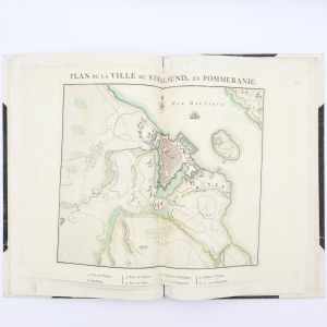
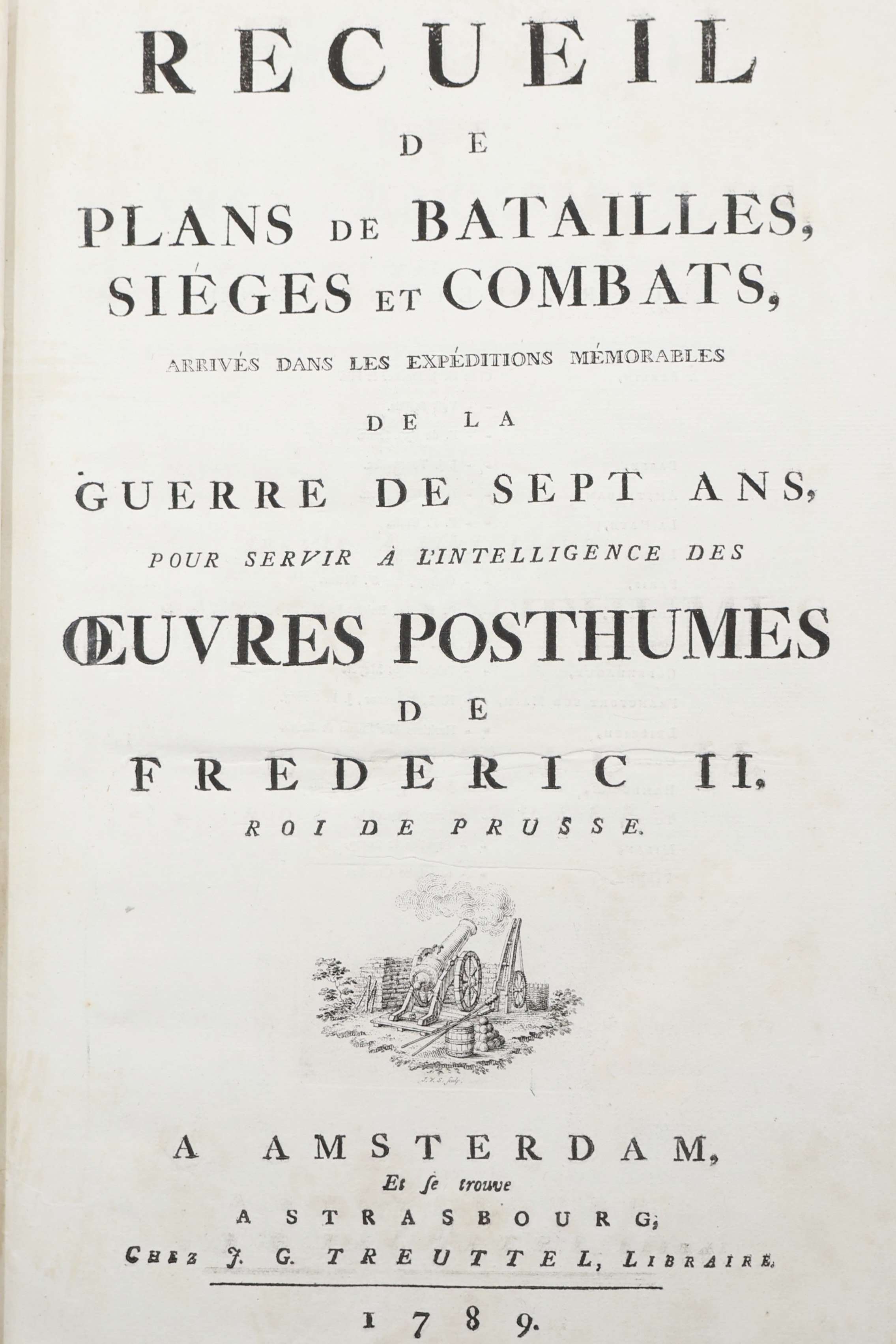
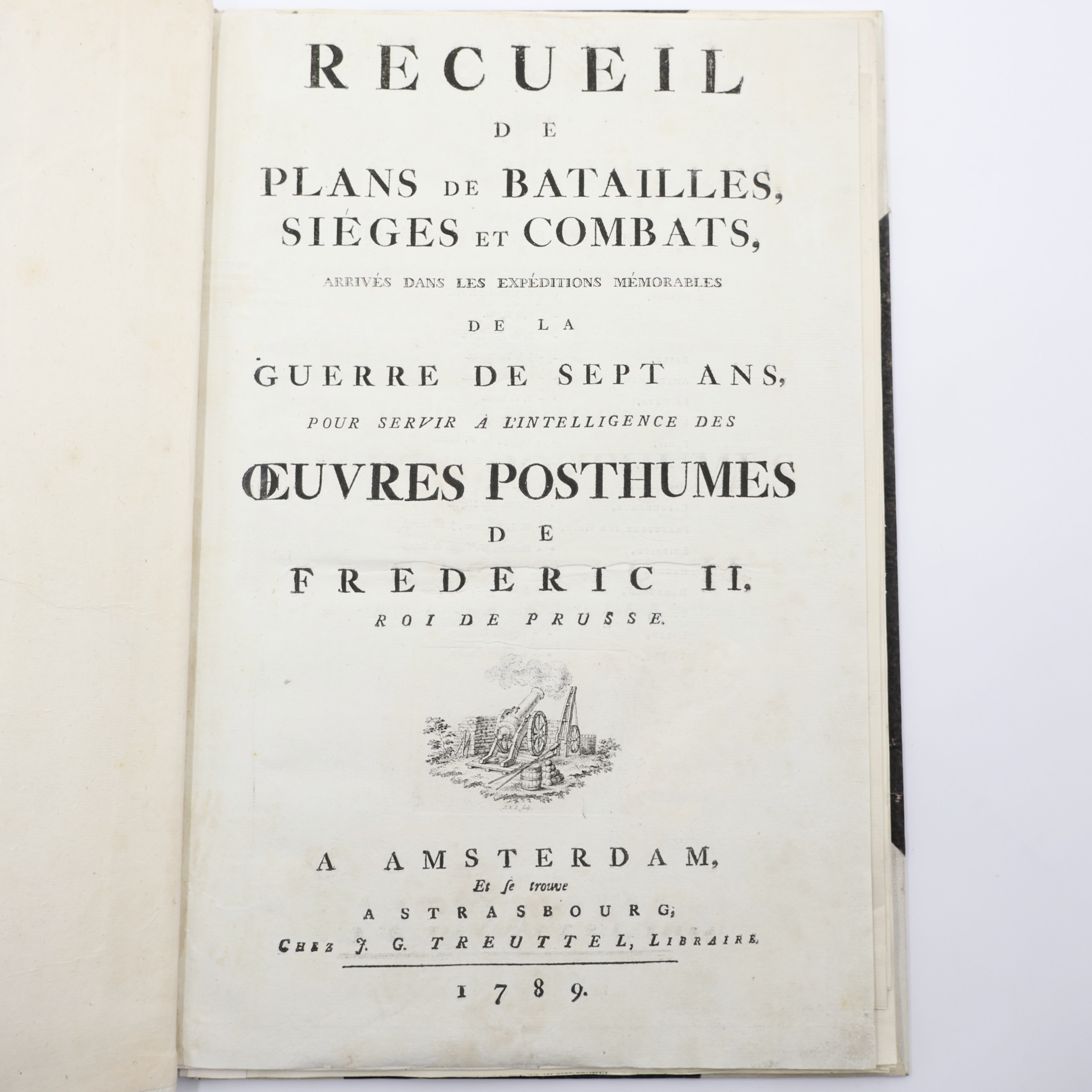
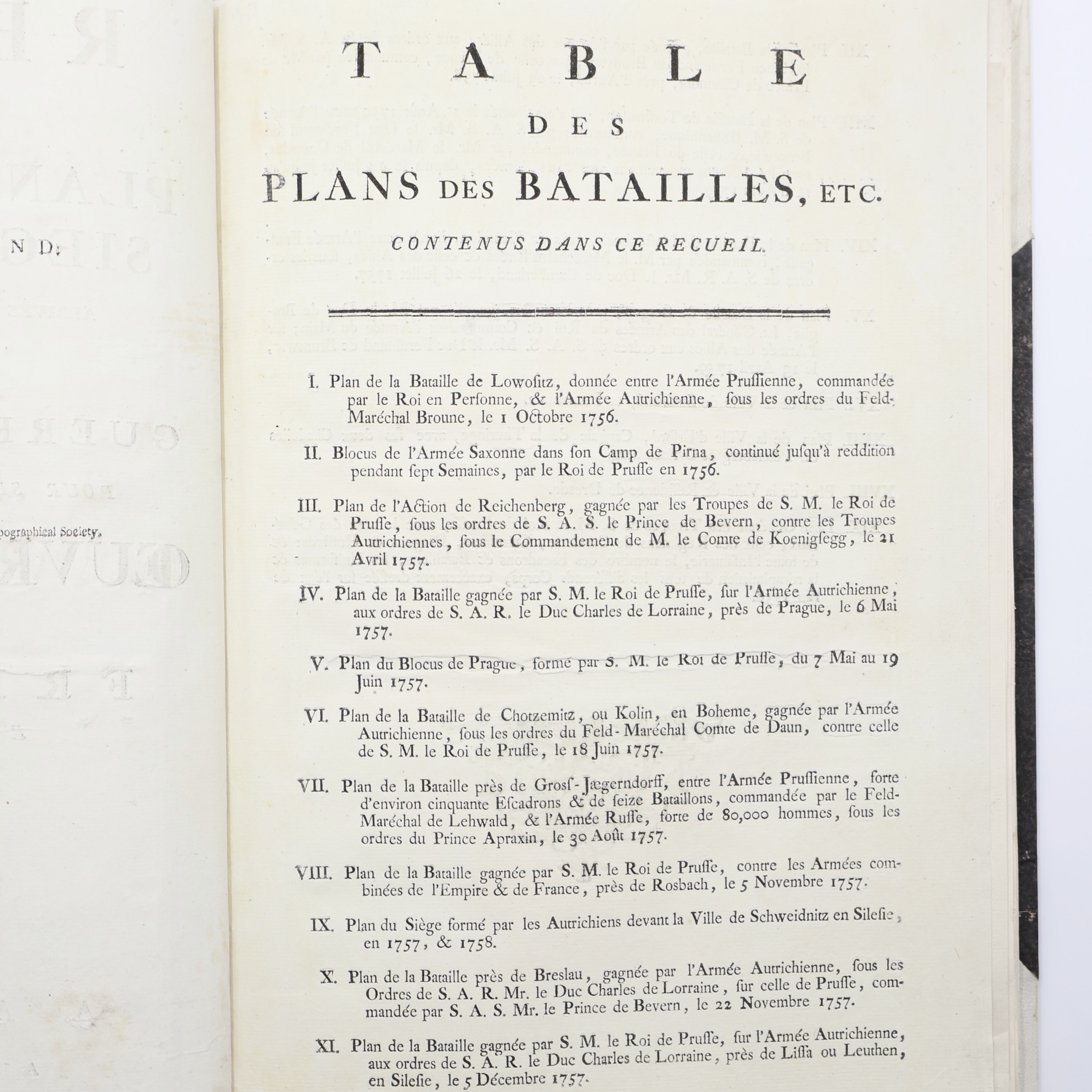
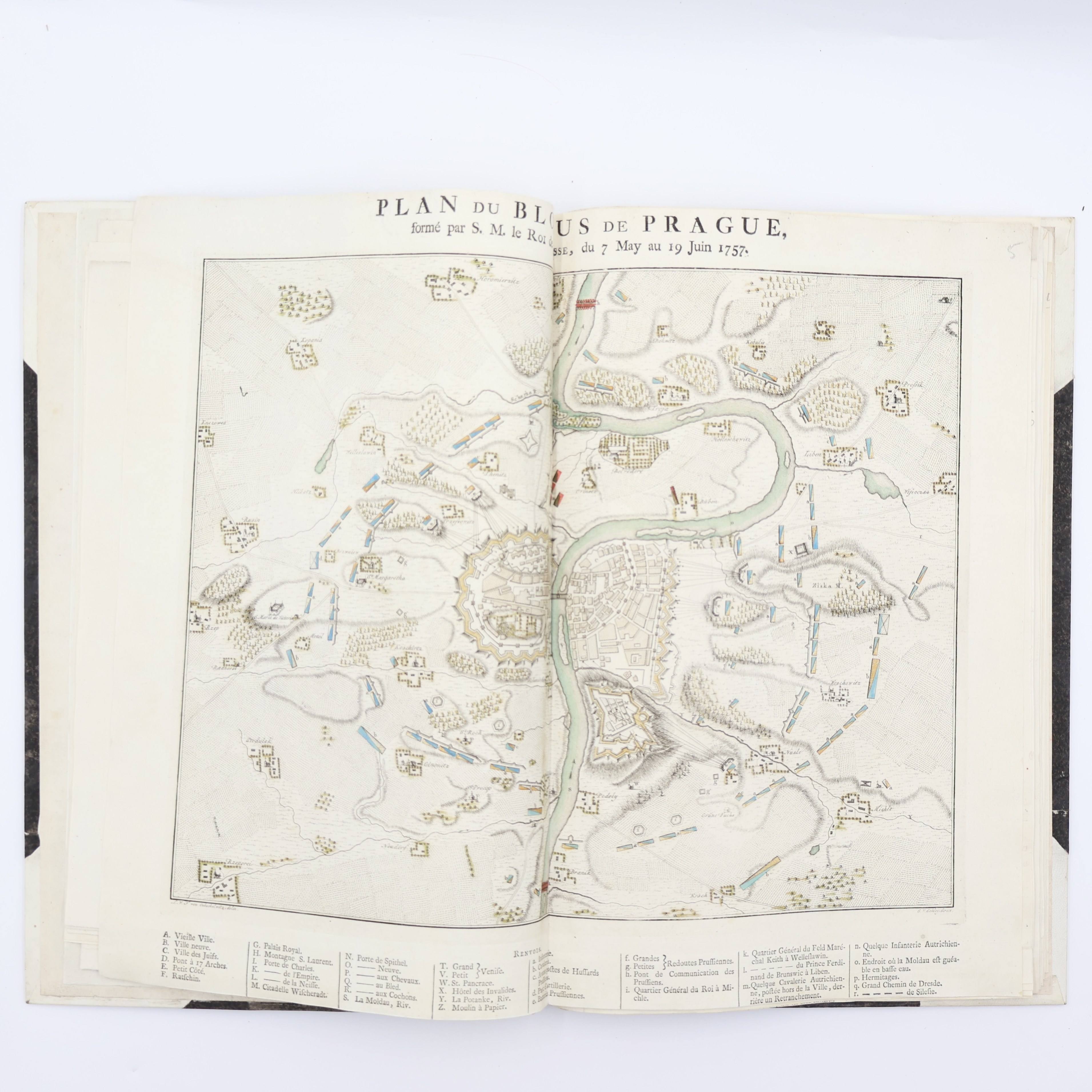
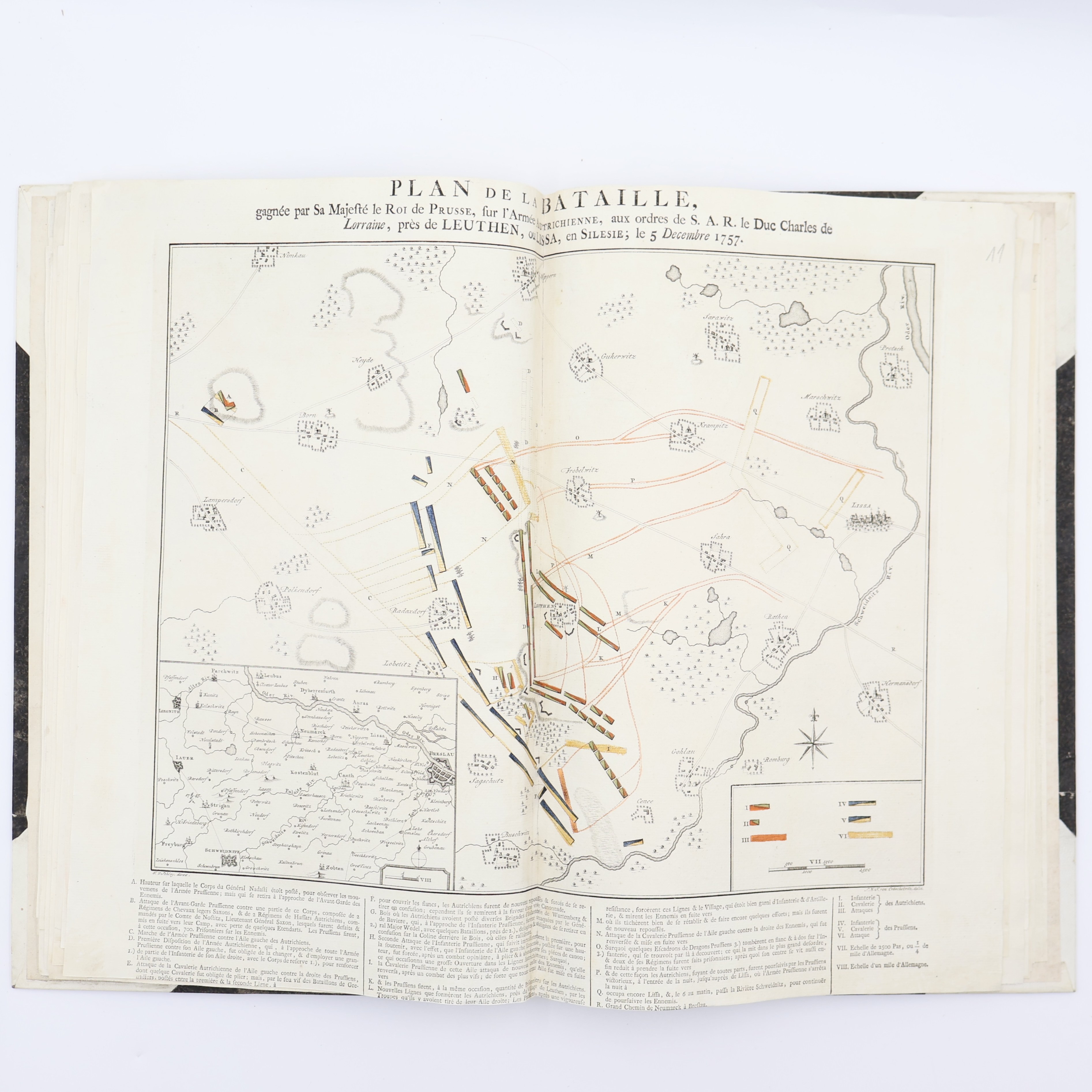
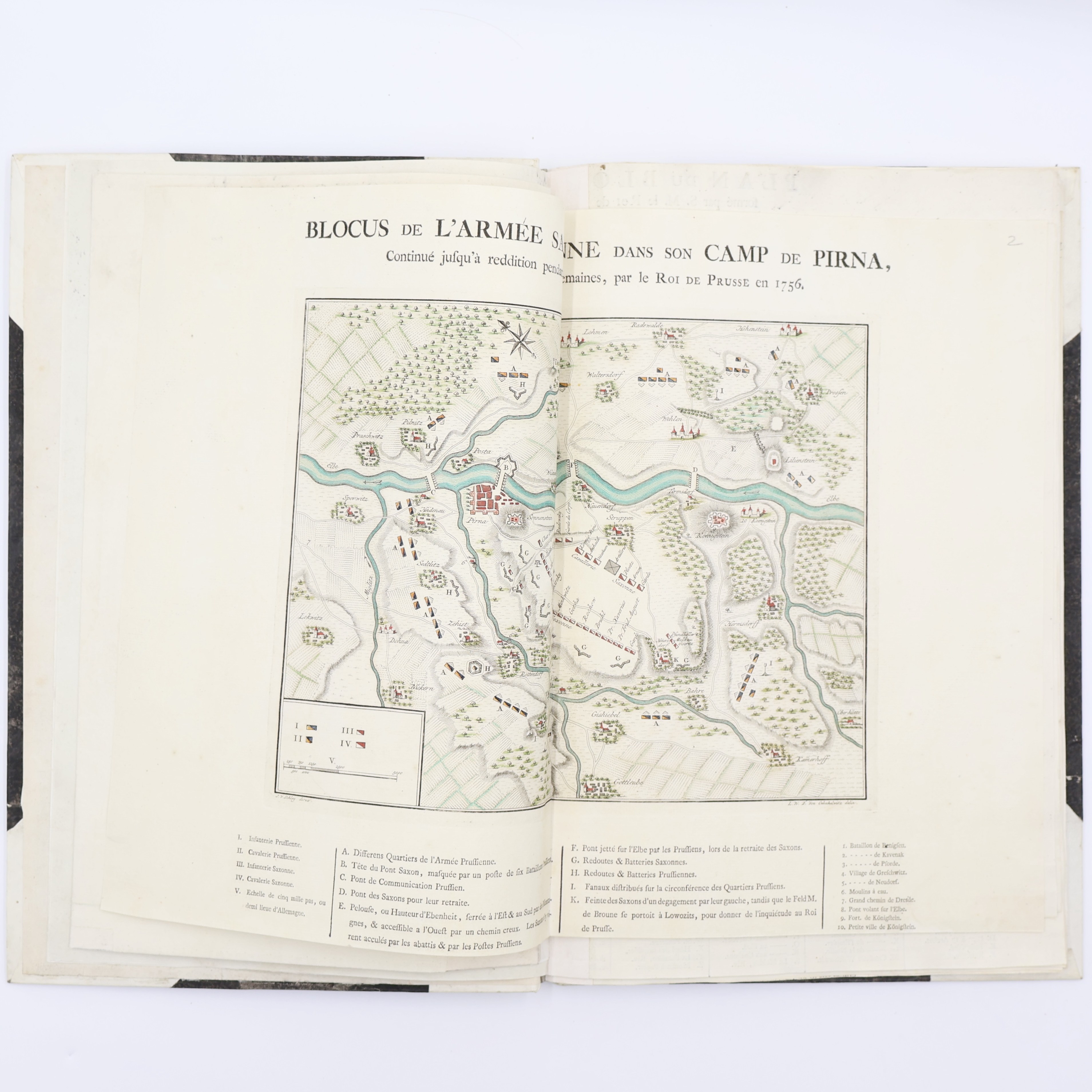
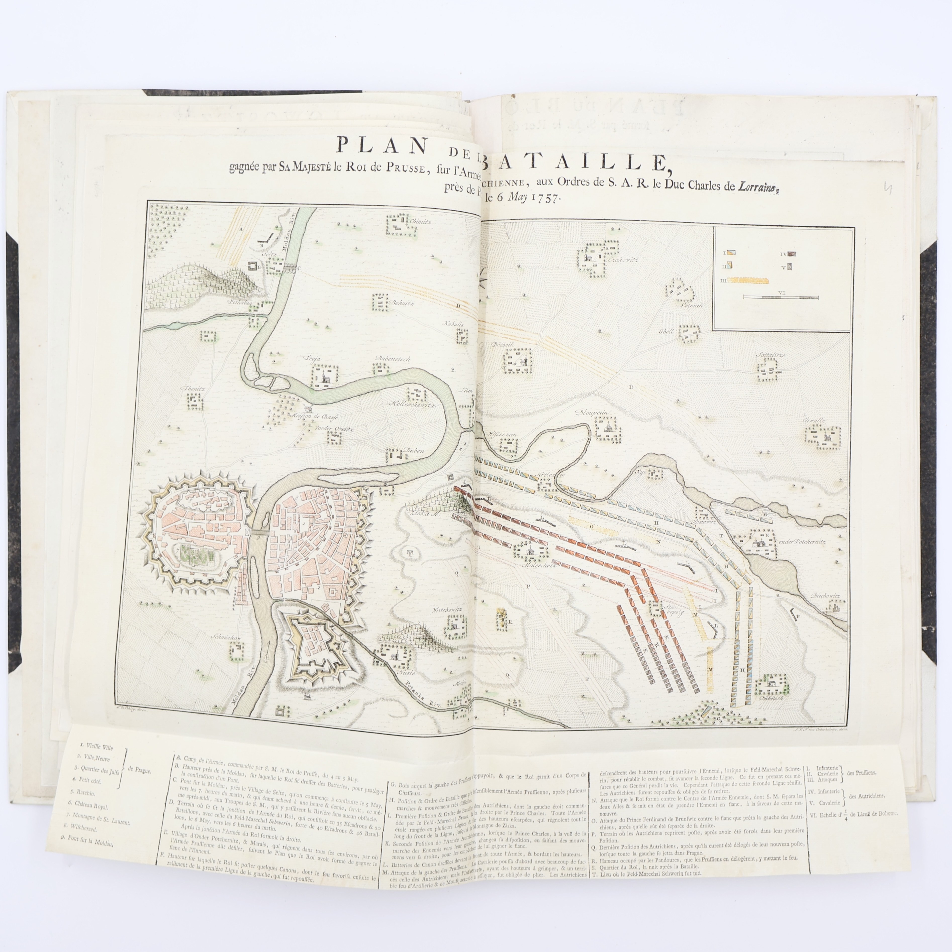

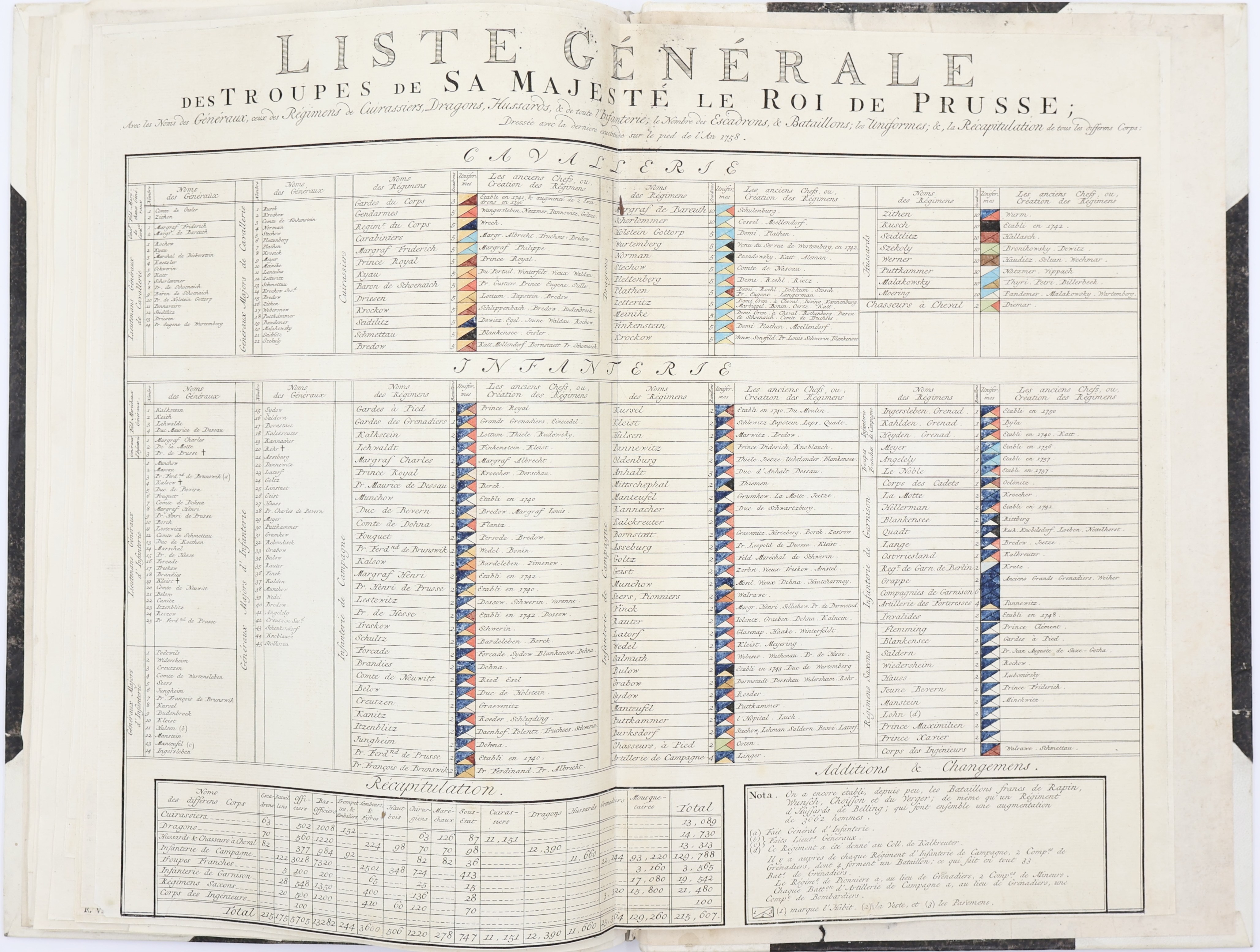
Recueil de Plans de Batailles, Sieges et Combats, arrives dans les expeditions mémorables de la Guerre de Sept Ans. Pour servir a l'intelligence des oeuvres posthumes de Frederic II., Roi de Prusse
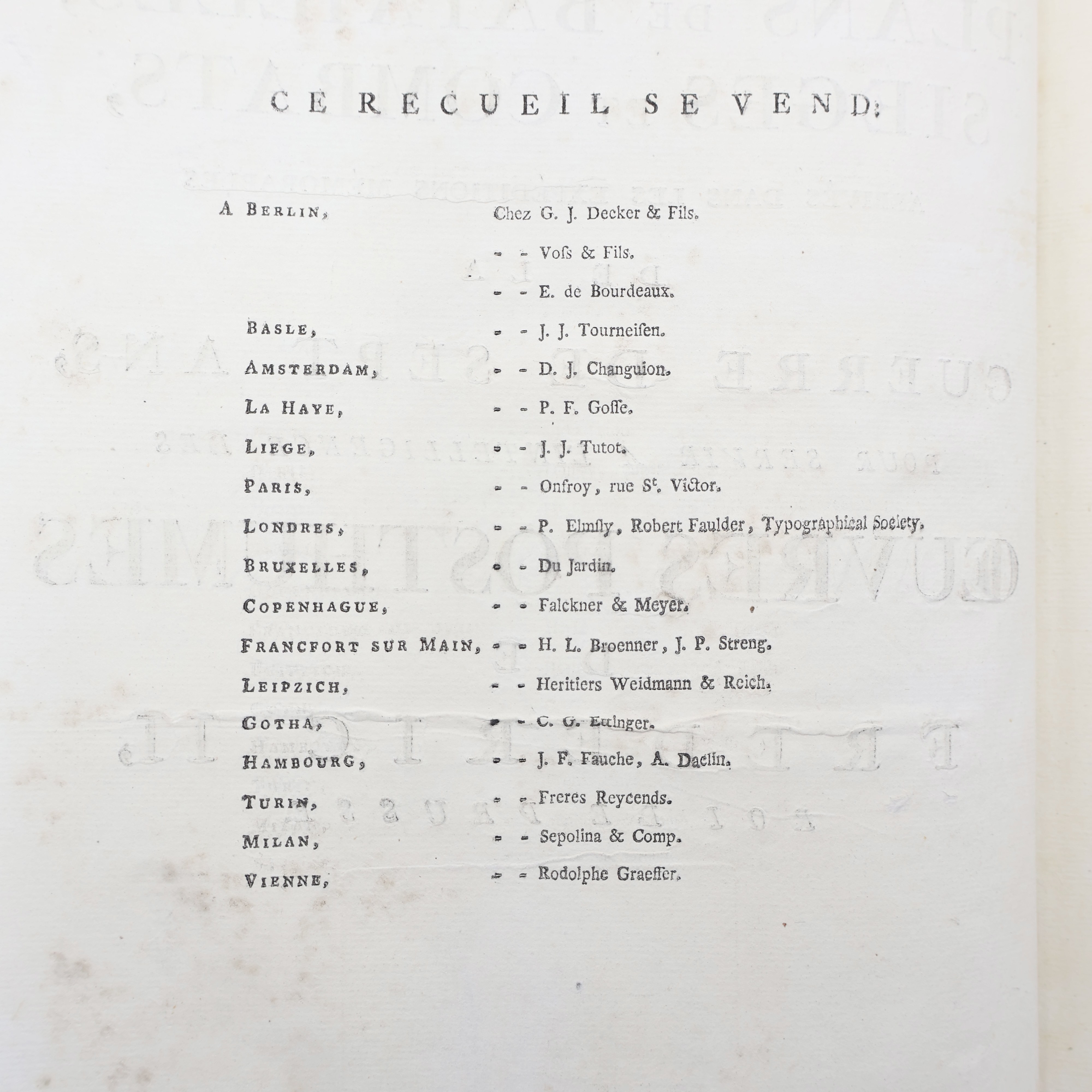
J.G. Truettel, Amsterdam & Strasbourg 1789
folio 42 x 27 cm, pp. [4], followed by 19 plates
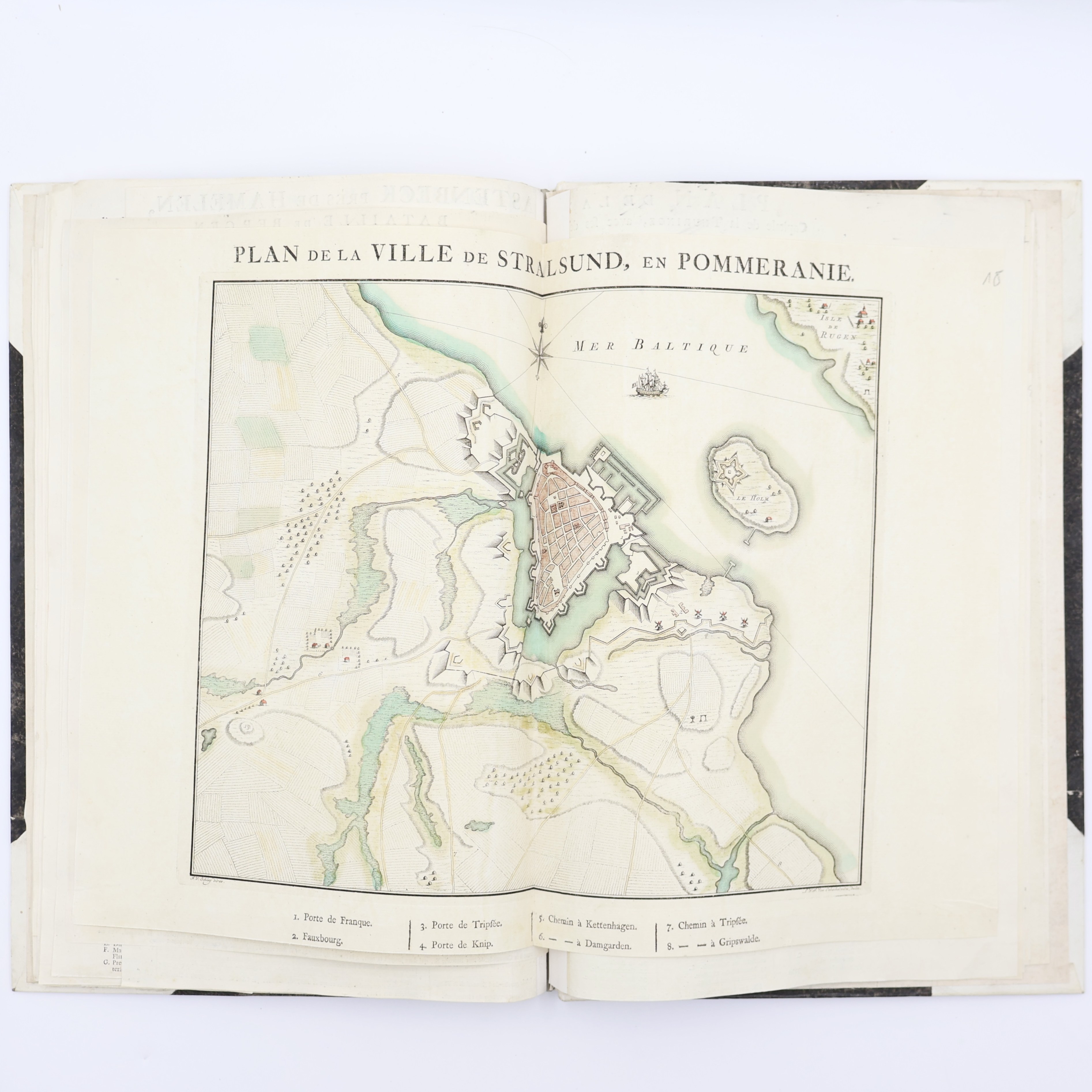
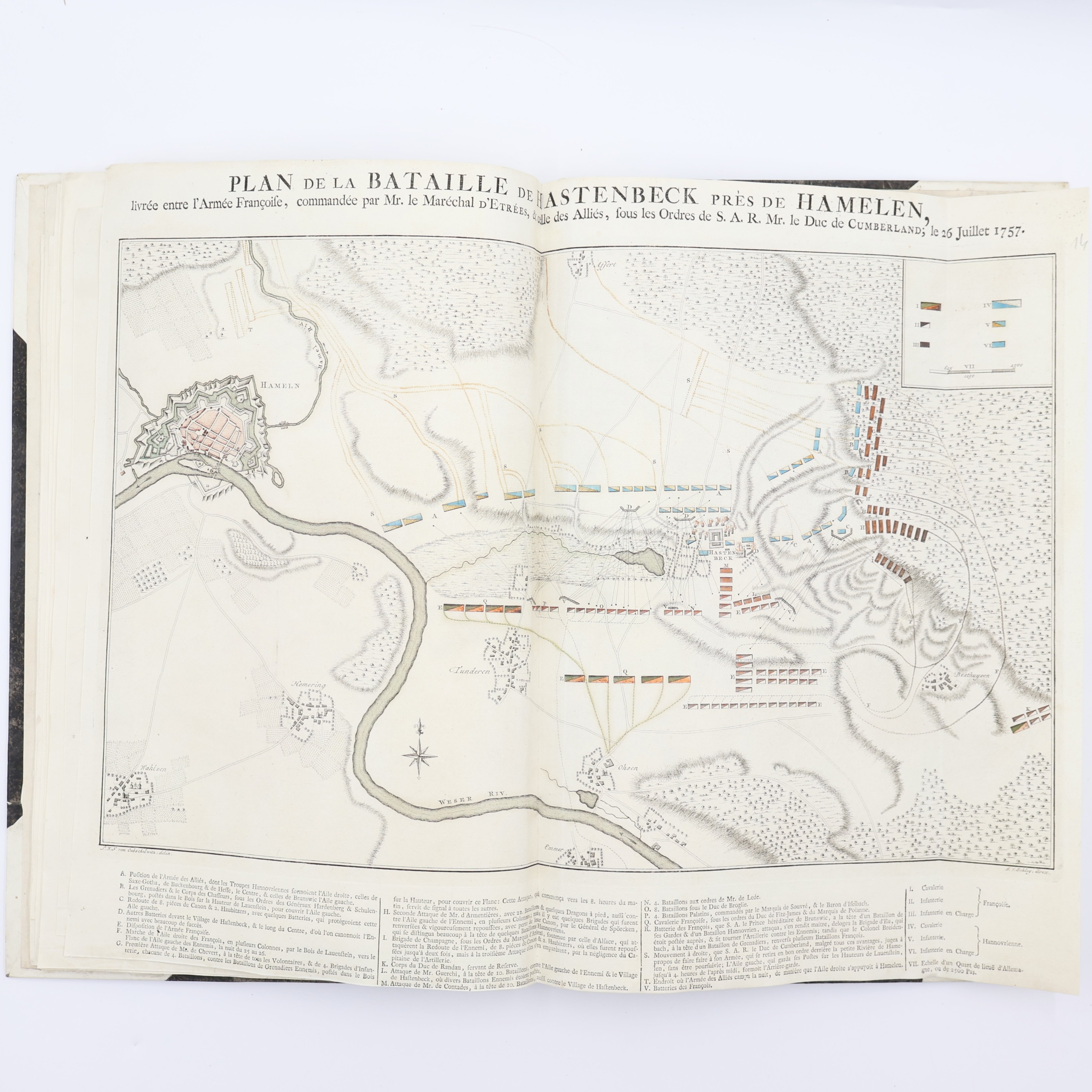
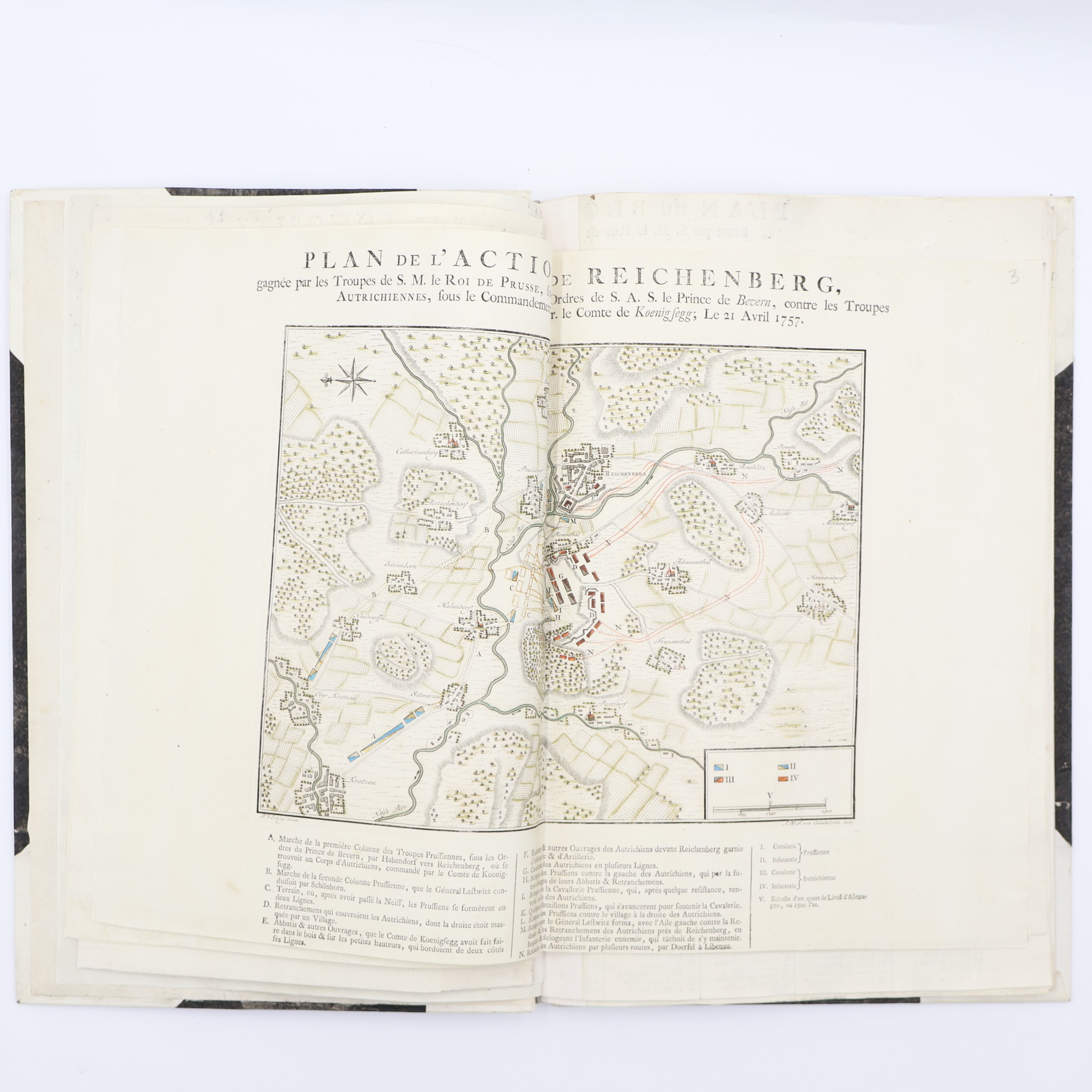
Rare prized military atlas documenting the key campaigns of the Seven Years' War (1756-1763), compiled for easy reading of the posthumous works of Frederick II, King of Prussia. It contains an impressive set of 19 large, hand-colored, folding battle plans and siege maps covering the most important clashes of the conflict - including Rossbach, Leuthen, Lowositz, Prague, Kolin, Kunersdorf, Breslau, Schweidnitz (Swidnica), Jägerndorf, Lutyn, Krefeld and Reichenberg.
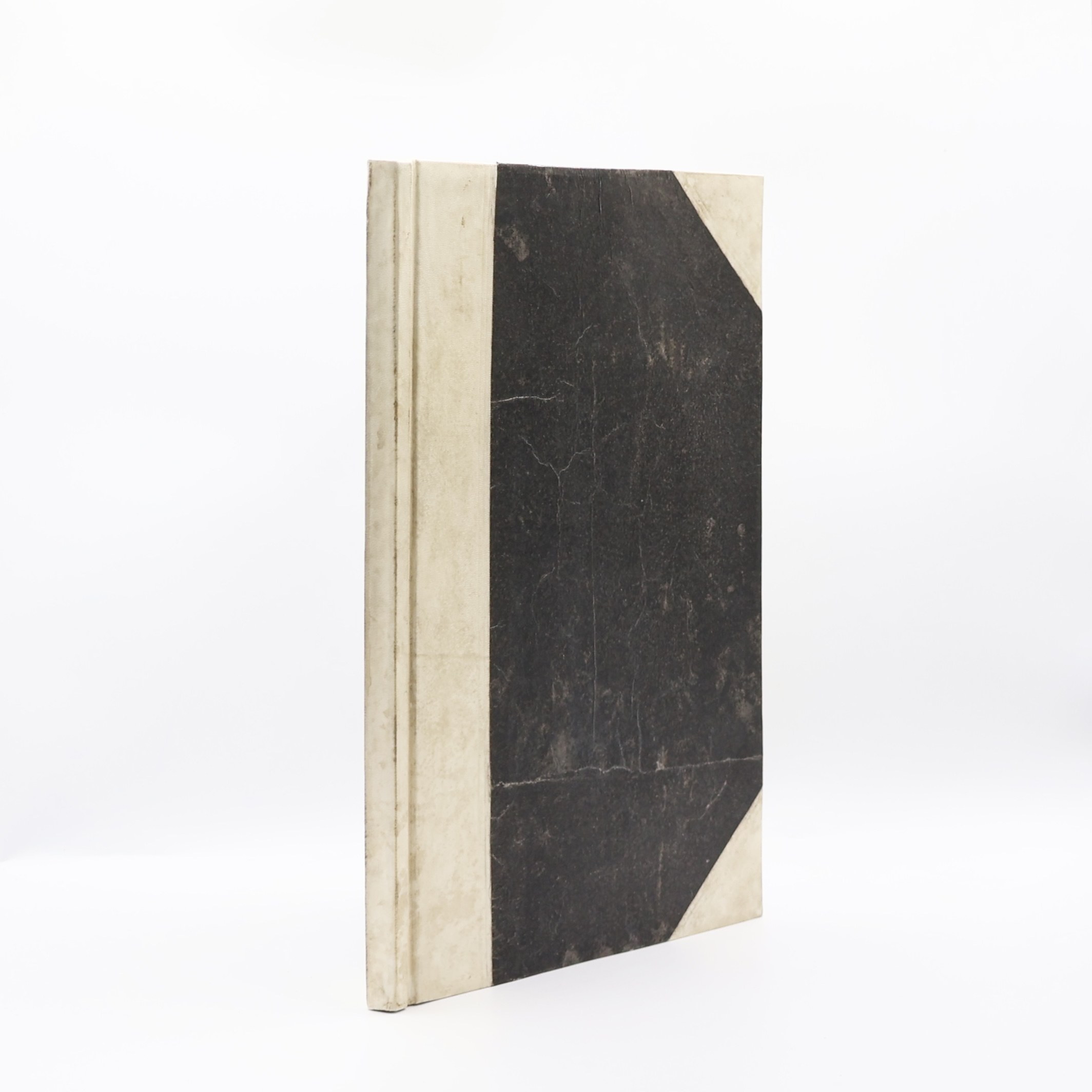
Pieces in half-perchment binding. All maps have been reinforced on new dividers. Local traces of conservation repairs do not affect the quality of the graphics. Condition of preservation very good for a work of such large format and intensive use.